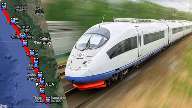

THIRUVANANTHAPURAM: As the land acquisition process for the new semi-high speed railway line from Kasaragod to Thiruvananthapuram is about to begin, the authorities have published a map to know where the track will pass. An outline map of the alignment of the route as per the current plan is available on the K-Rail website (https://keralarail.com/alignment-of-silver-line-corridor/).
Slight variations are expected along this route, but accurate location information is available on the map. The alignment of the path is recorded on Google Maps and this works on a smartphone. The train is expected to reach Kasaragod from Thiruvananthapuram in four hours. Trains can travel at speeds of up to 200 kilometers per hour.
There are 11 stations on this Silverline track. The stations will be located at Thiruvananthapuram, Kollam, Chengannur, Kottayam, Ernakulam, Kochi Airport, Thrissur, Tirur, Kozhikode, Kannur and Kasaragod. Of these, a station is allocated adjacent to the Nedumbassery airport. The journey time on the busy Thiruvananthapuram-Ernakulam route is expected to be just an hour and a half.