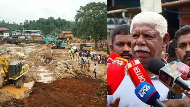

KALPETTA: The team led by scientist John Mathai of the National Centre for Earth Science Studies has submitted two reports on the Wayanad landslides. The report is about the places for rehabilitation and the places where danger exists in the disaster area. The report was handed over to the Disaster Management Authority. The final decision will be taken by a five-member high-powered committee that will evaluate the report submitted by John Mathai.
The report was submitted by the expert team after visiting the areas of Punjirimattam, Mundakkai and Chooralmala. The expert team visited 12 places out of 24 places identified for rehabilitation. Five of these places have been recommended for the construction of townships. The second report includes danger zones in places such as Punjirimattam, Mundakkai and Padavetti Kunnu.
The danger zones in the places where landslides have occurred have been identified by considering the distance from the river, the slope of the land, the flow of water etc. Here, even places 350 meters away from the river have been classified as danger zones. The river, which was fifty meters, has evolved into one hundred to one hundred and fifty meters with landslides.
The team has identified the new edge of the river and calculated the danger zone from there. The team is yet to give a report on how the landslide occurred. That report will be prepared only after visiting the epicenter. The report will be studied by the high-powered committee now. They will visit the landslide-hit areas, consider this report and submit a final report to the government.