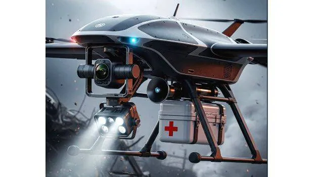

THIRUVANANTHAPURAM: P. Sreeraj, a researcher in the Energy Department of the Integrated Rural Technology Center, has developed an artificial intelligence drone that can detect danger in disaster-affected areas and assist in rescue operations where humans cannot reach. The drone can independently detect whether humans or animals are trapped during earthquakes, floods, fires, and other emergencies, and relay the information to rescue teams. It can also deliver first aid kits and water, carrying up to 5 kg. Decisions are made based on a software program, and it can also create 3D maps of disaster areas.
Real-time images through thermal camera
The drone is equipped with a thermal camera that sends live images to the control room. This helps the police, ambulance, and fire services to reach the disaster site quickly.
Currently, the drone is programmed for disaster management, but in the future, it could be used for agriculture, commerce, and civil purposes. It can monitor large farms and fields, track crop growth, detect pest attacks, assess fertiliser needs, and provide weather alerts.
Efforts are underway to use the drone for both disaster relief and agricultural monitoring.
- P. Sreeraj