


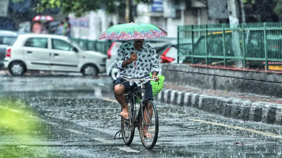
THIRUVANANTHAPURAM: Kerala is likely to receive heavy rainfall over the next five days, with the India Meteorological Department (IMD) issuing a red alert for Malappuram, Kozhikode and Wayanad on Sunday, October 25.
Isolated extremely heavy rainfall is forecast in the state on Sunday. Thunderstorms accompanied by rain and strong winds reaching speeds of 30–40 kmph are also likely at isolated places from October 25 to 27, the IMD said.
A low-pressure area lies over the southeast Arabian Sea and off the Kerala coast. A trough extending from the associated cyclonic circulation across Kerala to the north Tamil Nadu coast is also influencing the weather.
Meanwhile, a deep depression over the central and southeast Bay of Bengal is expected to intensify into a cyclonic storm on the morning of October 26 over the central Bay of Bengal and adjoining west-central Bay of Bengal. The system is likely to strengthen further into a severe cyclonic storm over the west-central Bay of Bengal on the morning of October 27.
Moving northwestwards, the system is forecast to intensify into a very severe cyclonic storm and reach the west-central Bay of Bengal off the Andhra Pradesh coast by the morning of October 28.
The IMD has forecast that the cyclone will cross the Andhra Pradesh–Yanam coast between Bapatla and Visakhapatnam before noon on October 28. At landfall, the system is likely to have sustained wind speeds of 115–125 kmph, with maximum wind speeds reaching 140 kmph.
A red alert has been issued for Malappuram, Kozhikode and Wayanad on October 25, indicating the possibility of extremely heavy rainfall at isolated places.
The IMD has issued orange alerts for the following districts:
An orange alert indicates the possibility of very heavy rainfall at isolated places. The IMD defines very heavy rainfall as 115.6 mm to 204.4 mm within 24 hours.
Yellow alerts have been issued for the following districts:
A yellow alert indicates the possibility of heavy rainfall at isolated places.















 HOME
 LATEST
 NOTIFIED NEWS
 POLL
 KERALA
 EDITORIAL
 INDIA
 WORLD
 BUSINESS
 CINEMA
 SPORTS
 LIFESTYLE
 SPECIAL
 SCIENCE & TECHNOLOGY

 |